Menu
Close
- Home
- Who we are
About Scientech
News & Events
- Industries and Research
Test & Measurement Instruments
PCB Prototyping Solutions
Circuit Design and Simulation Software with PCB Design
PCB Prototyping Machines
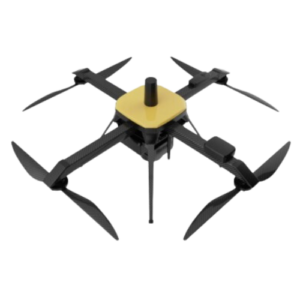
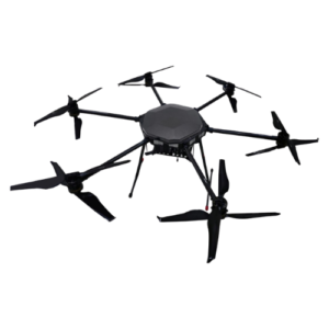
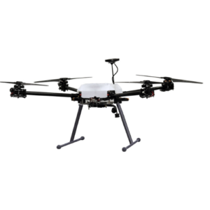
Unmanned Aerial Vehicle (UAV)/Drone
- Education and Skilling
Training Platforms
- AI and Machine Learning
- IoT IIoT and AIoT
- Unmanned Aerial Vehicle (UAV)/Drone
- 5G/6G Innovation Lab
- Instrumentation and Controls
- RF and Microwave
- Wireless Communication
- Antenna, Radar and Satellite Communication
- Optical Fiber
- Data Communication & Networking
- Digital Communication
- Analog Communication
- Power Electronics
Test & Measurement Instruments
PCB Prototyping Solutions
Circuit Design and Simulation Software with PCB Design
PCB Prototyping Machines
Software
- Tina V16 - TINA Design Suite
- Tina V15 - Circuit Design, Simulation and PCB Design Software
- Factory I/O Software - PLC programming with 3D factory simulation
- Simtel - Interactive Technology Learning Software
- EDISON - 3D Multimedia Lab for Exploring Electricity and Electronics
- NEWTON - 3D Multimedia Lab for Exploring Physics
- Defence Electronics
- Helpdesk
- Resources
Resources
- Home
- Who we are
About Scientech
News & Events
- Industries and Research
Test & Measurement Instruments
PCB Prototyping Solutions
Circuit Design and Simulation Software with PCB Design
PCB Prototyping Machines
Unmanned Aerial Vehicle (UAV)/Drone
- Education and Skilling
Training Platforms
- AI and Machine Learning
- IoT IIoT and AIoT
- Unmanned Aerial Vehicle (UAV)/Drone
- 5G/6G Innovation Lab
- Instrumentation and Controls
- RF and Microwave
- Wireless Communication
- Antenna, Radar and Satellite Communication
- Optical Fiber
- Data Communication & Networking
- Digital Communication
- Analog Communication
- Power Electronics
Test & Measurement Instruments
PCB Prototyping Solutions
Circuit Design and Simulation Software with PCB Design
PCB Prototyping Machines
Software
- Tina V16 - TINA Design Suite
- Tina V15 - Circuit Design, Simulation and PCB Design Software
- Factory I/O Software - PLC programming with 3D factory simulation
- Simtel - Interactive Technology Learning Software
- EDISON - 3D Multimedia Lab for Exploring Electricity and Electronics
- NEWTON - 3D Multimedia Lab for Exploring Physics
- Defence Electronics
- Helpdesk
- Resources
Resources
")